
A problem-solving water carry planning tool for hikers who want a clearer decision before the trailhead. Enter honest inputs, read the result as a range, and turn it into one practical action.
Use this planner to estimate how much water to start with, account for drinking rate and heat, and keep a reserve between reliable refill opportunities. Enter honest numbers for your route, and treat the result as a planning range with a safety margin.
Affiliate disclosure: some retailer links may earn a commission. The tool result is independent of retailer relationships and does not replace current route, weather, manufacturer, medical, or local safety guidance.
Route demand: how the day shapes your water need
Your water need follows the route: distance, elevation, heat, and effort all increase it. A cool, flat walk needs far less water than a hot climb, and a heavy pack increases the demand further. The calculator turns those factors into an estimate, but your own experience on similar routes is the best guide.
Think about the day in sections, not as a single number. The climb in the morning sun will need more water than the shaded descent in the afternoon, and a long exposed ridge needs more than a forest trail. Breaking the day into sections gives a more honest estimate.
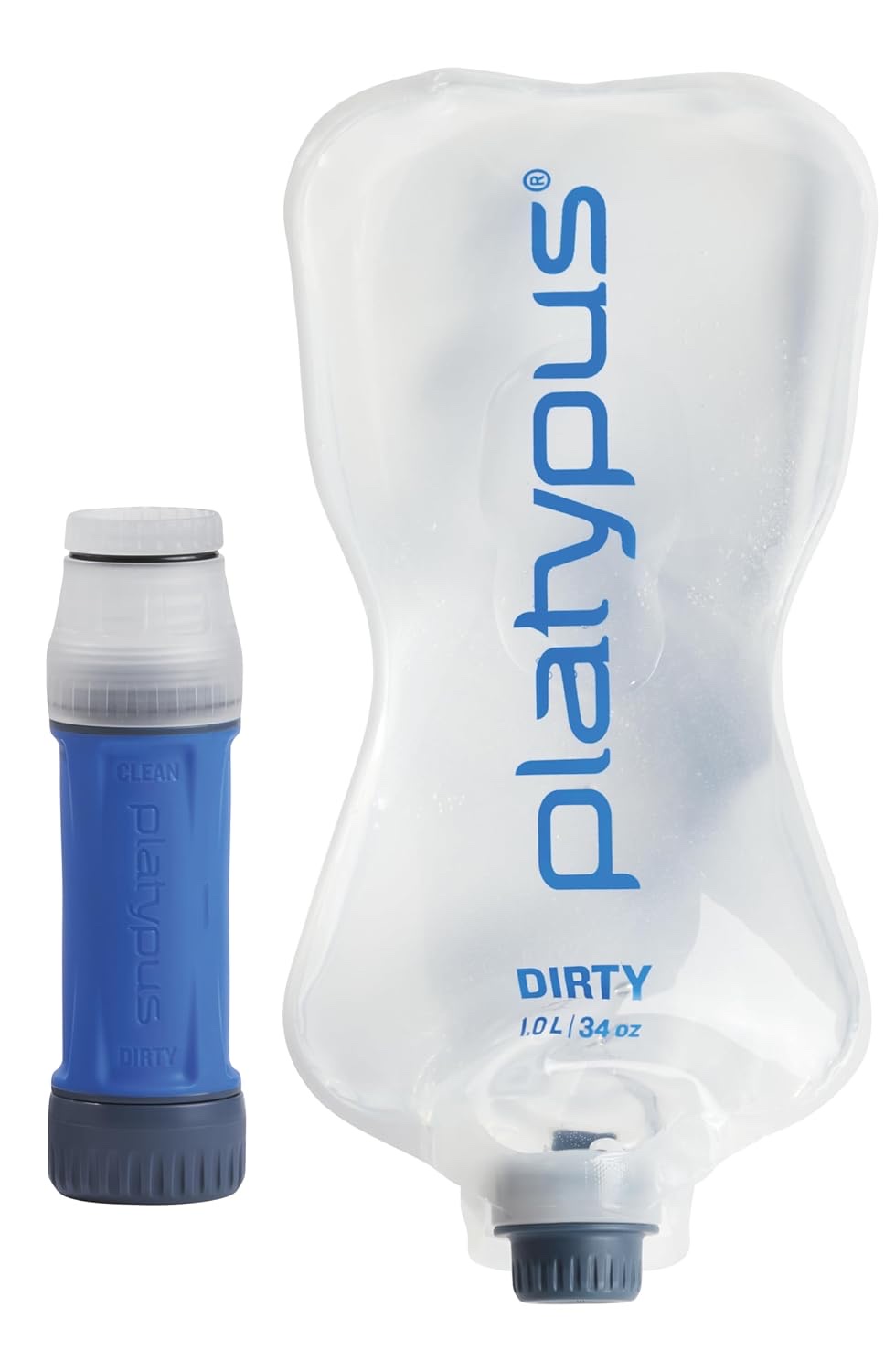 Product photoPlatypus QuickDraw 1 Liter Water Filter System
Platypus QuickDraw 1 Liter Water Filter System
Route demand: how the day shapes your water need: A compact squeeze filter for hikers who want a fast way to treat water on day hikes and overnights.
Refill points and the carry window
The carry window is the time and distance between reliable refill points, and it sets how much you need to carry. A route with streams every hour needs a small bottle and a filter, while a dry ridge walk needs large capacity and careful rationing. Map your refill points before the trip, and carry a margin for a source that turns out to be dry.
A map symbol is not a guaranteed refill. Streams can run dry in summer, springs can be seasonal, and a blue line on paper may be a damp ditch in reality. Check recent trip reports, and always have a backup source in mind.
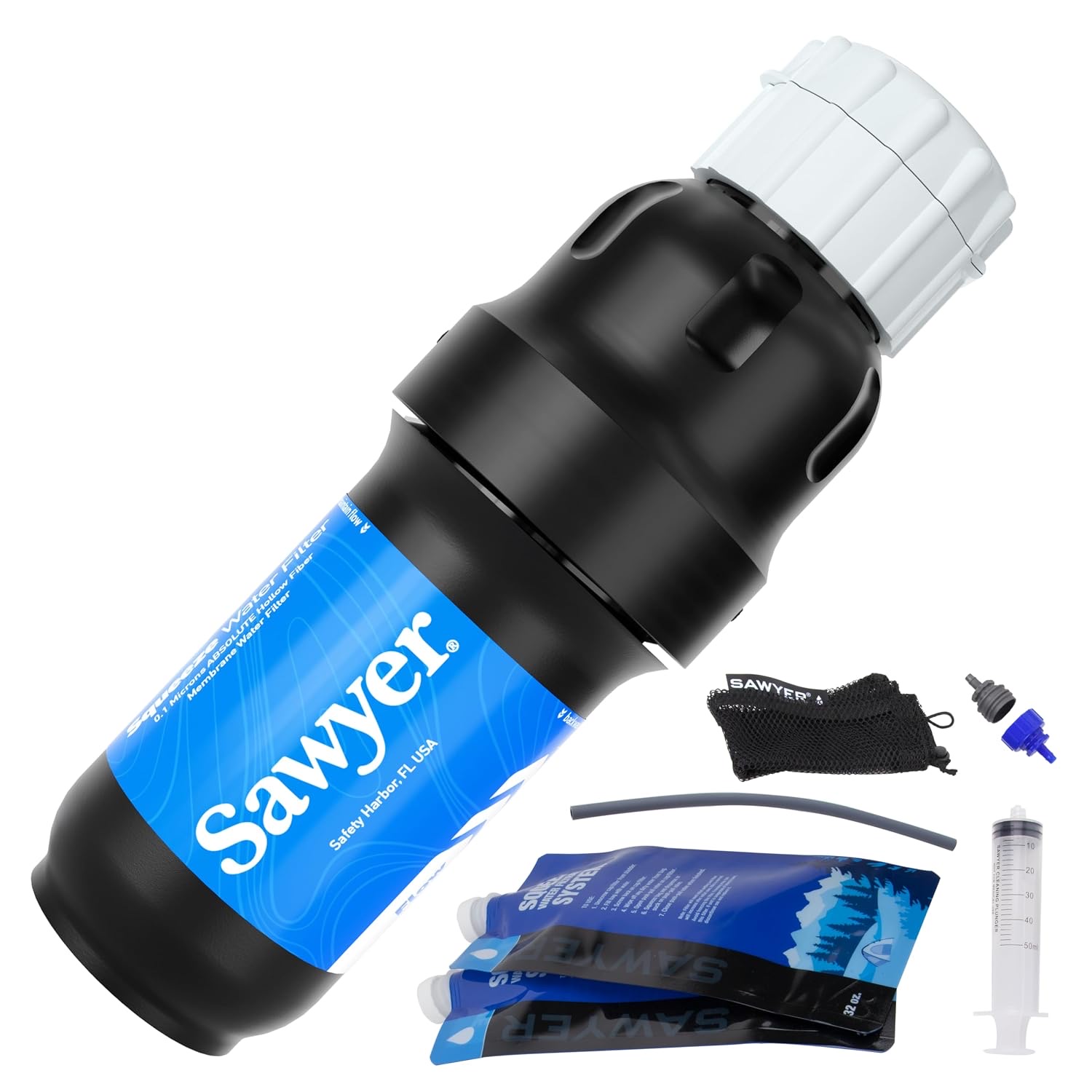 Product photoSawyer Squeeze
Sawyer Squeeze
Refill points and the carry window: A widely used squeeze-filter system for hikers who want flexible bottle and pouch compatibility.
Heat adjustment: when the forecast changes the plan
Heat is the largest variable in water planning, and it is the one most often underestimated. A hot day can double your water need compared to a cool day on the same route, and the effect is worse on exposed terrain with no shade. The calculator's heat adjustment adds a margin for hot conditions, but the real answer is to start earlier, carry more, or shorten the exposed section.
Watch for the signs of dehydration: headache, dizziness, dark urine, and a feeling of fatigue that does not match your effort. If you notice them, stop, rest in shade, and drink with electrolytes. Heat illness is serious and preventable.
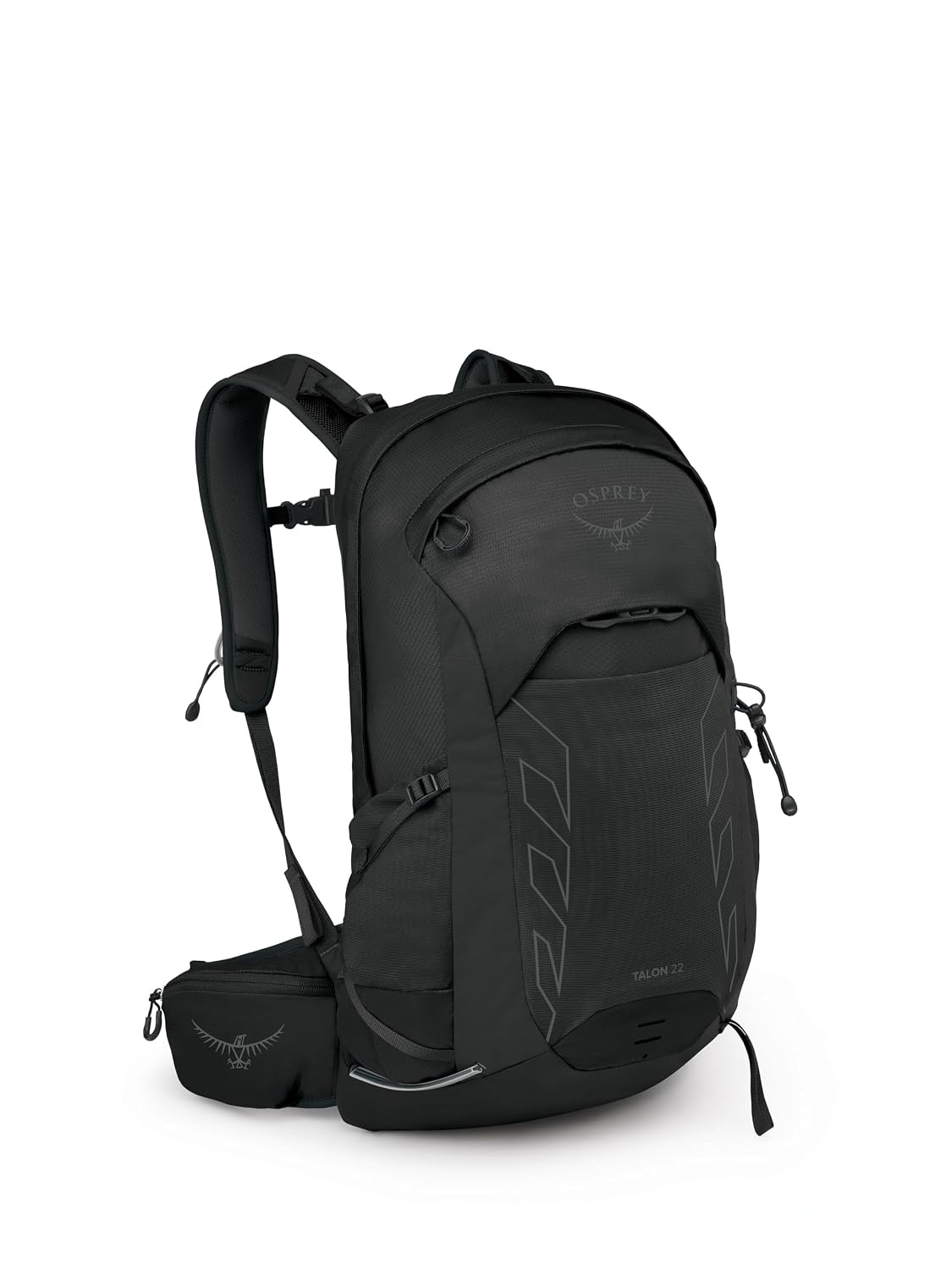 Product photoOsprey Talon 22
Osprey Talon 22
Heat adjustment: when the forecast changes the plan: A ventilated daypack for hikers who want a stable carry without turning a short route into an expedition.
The reserve: why a margin matters
A reserve is extra water carried beyond the estimate, and it covers the things you cannot predict: a slower pace, a hotter day, a dry source, or a wrong turn. The reserve is not wasted weight; it is insurance against the most common water problem in hiking, which is running out.
A reasonable reserve is enough water to reach the next reliable source, or to finish the day if the next source is dry. On a route with no water at all, the reserve is the difference between a comfortable finish and a desperate one. Carry it, even when the estimate says you will not need it.
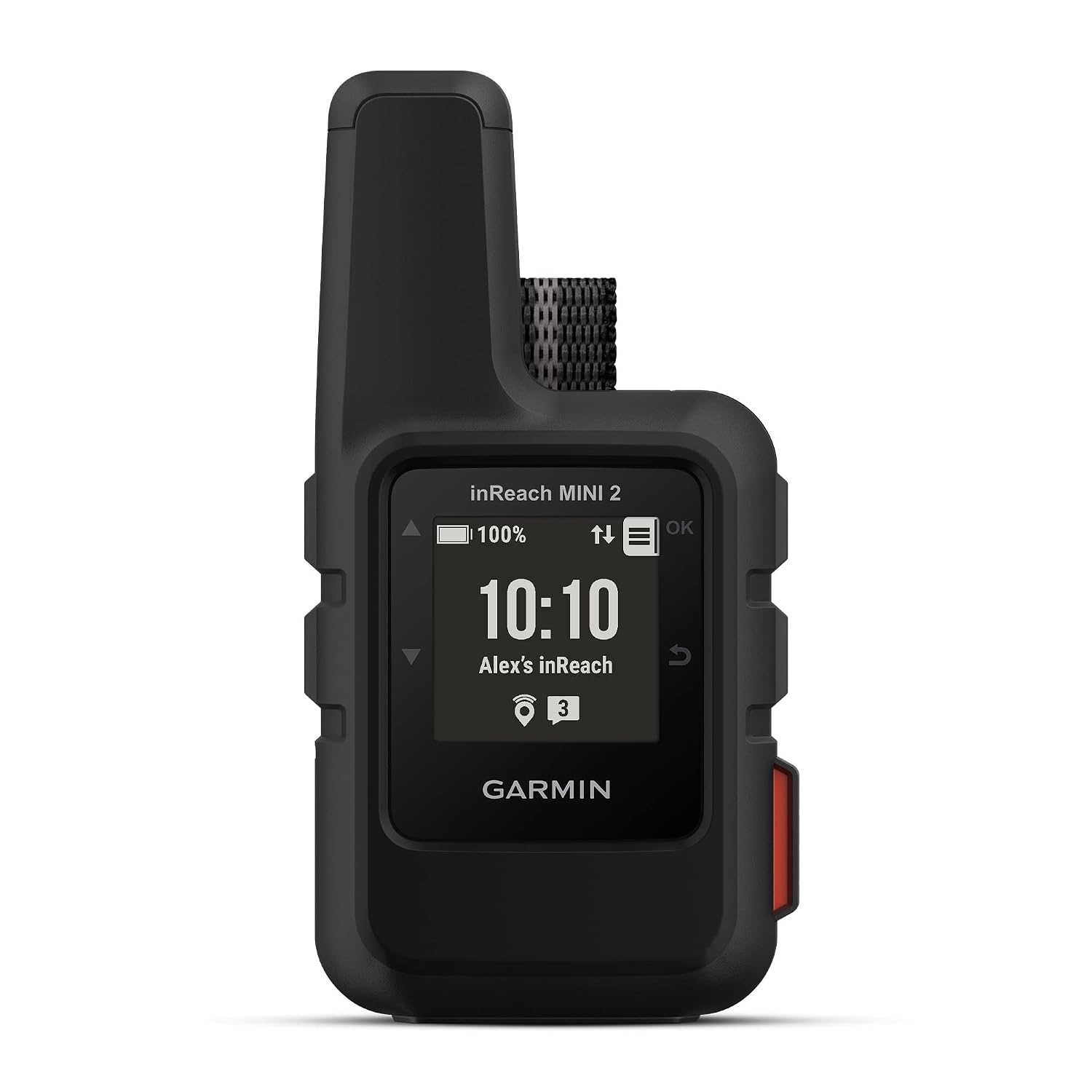 Product photoGarmin inReach Mini 2
Garmin inReach Mini 2
The reserve: why a margin matters: A satellite communicator for trips where an emergency plan and off-grid check-ins matter.
Turning the plan into a packing decision
The calculator's output should change what you pack: how many bottles, whether to bring a filter, and whether to add a soft flask for extra capacity. A plan that stays on paper is useless; a plan that changes your packing is valuable. Use the result to decide, then pack accordingly.
Test the plan on a familiar route first. Note how much you actually drank, how much you had left, and whether the estimate matched reality. That feedback makes the next plan more accurate, and over time you will develop a reliable sense of your own water needs.
A practical decision table
| Planning output | What it means | What to do next |
|---|---|---|
| Route demand | Estimated fluid for the full time | Compare it with reliable sources and the forecast |
| Carry window | Water needed until the next refill | Add a reserve instead of trusting an exact arrival time |
| Heat adjustment | Extra margin for heat and exposure | Start earlier, carry more, or shorten the exposed section |
| Treatment plan | How the water becomes usable | Confirm filter limits and carry a backup method |
Frequently asked questions
How much water should I carry on a hike?
Plan from the route: map your refill points, estimate the longest dry gap, and carry enough for that gap plus a reserve. Heat and effort increase the demand, so carry more on hot days.
How do I find water sources on a route?
Use a map to mark streams and springs, then check recent trip reports to confirm they are flowing. A map symbol is not a guarantee, so carry a margin for a source that turns out dry.
What is a water reserve, and why do I need one?
A reserve is extra water beyond the estimate, covering a slower pace, a hotter day, or a dry source. It is insurance against running out, which is the most common water problem in hiking.
Does heat really change how much water I need?
Yes, significantly. A hot day can double your water need compared to a cool day on the same route. Start earlier, carry more, or shorten the exposed section on hot days.
Should I carry a water filter?
If your route has reliable streams, a filter lets you carry less water and refill on the way. It is light insurance on any route with water sources, and it turns a stream into a refill point.
Is the planner result exact?
No, it is an estimate built from the numbers you entered. Heat, effort, and pace all shift your real need, so use the output to decide what to pack and check it against familiar routes.
Useful Sources and Verification
Use these source types to verify current details before buying or publishing a recommendation.
- Current official manufacturer documentation for technical limits, care, compatibility, and safety instructions
- Current route, weather, water-source, retailer, or service information relevant to the decision
- Independent review patterns used as context, not as a substitute for personal fit or field testing