A practical guide to maps, light, satellite communication, decision points, and the small systems that matter when a route changes.
The short answerBuild hiking safety around independent layers: route information, a reliable map or navigation method, a light, a communication plan, and a clear turnaround rule. Add a satellite communicator when your route and coverage make it appropriate. The goal is not to carry every emergency product; it is to keep one failure from removing all your options.
Affiliate disclosure: some retailer links on this site may earn a commission. That does not change the evidence labels or the need to verify the current product, variant, price, availability, and returns.
Navigation basics: map, compass, and phone
Navigation starts with a map and the ability to read it. A paper map never runs out of battery, works in rain, and shows the whole route at a glance, which makes it the foundation of any navigation plan. A compass adds direction when visibility drops, and the two together are the most reliable navigation system ever made.
A phone with offline maps is a powerful complement, not a replacement. It shows your exact position, tracks your route, and stores far more detail than a paper map. But it depends on battery, signal for downloads, and a screen that is hard to read in bright sun. Carry both, and know how to use both.
AFFILIATE PICK · Navigation and safety
Garmin inReach Mini 2
Navigation basics: map, compass, and phone: A satellite communicator for trips where an emergency plan and off-grid check-ins matter.
Best forRemote hikers who travel beyond reliable cell coverage and carry a clear communication plan.Skip ifYou stay on busy local trails with coverage or do not want a subscription device.
Open profile →Offline maps and battery planning
Offline maps turn a phone into a reliable navigation tool, but only if the maps are downloaded before you lose signal. Download the map for your route area at home, test it in aeroplane mode, and confirm that your position shows correctly. A map that is not downloaded is not a map.
Battery planning is part of navigation planning. A phone used for navigation drains quickly, especially in cold weather, so carry a power bank and keep the phone in a pocket where it stays warm. Use aeroplane mode to save battery, and check your position at intervals rather than leaving the screen on continuously.
Headlamps and the light you actually need
A headlamp is a safety item, not just a convenience. It covers the possibility of finishing after dark, finding your way in fog, and signalling for help. The Black Diamond Spot 400 is a compact example with enough output for trail use after dark and a red-light mode for camp.
Carry a headlamp on every hike, even a short one, and check the battery before you leave. A headlamp with dead batteries is just a headband, so carry spares or a rechargeable option. The light you need is the light that works when the day runs long.
Satellite communicators: when signal ends
A satellite communicator sends messages and SOS alerts through satellites, which means it works where cell phones do not. On remote trails, in deep valleys, and on multi-day routes far from roads, it is the only way to reach help or reassure home. The Garmin inReach Mini 2 is a compact example with two-way messaging and interactive SOS.
A communicator requires a subscription and a clear view of the sky, and it should never be the reason you attempt a route you would otherwise avoid. It is a safety layer on top of a solid plan, not permission to take risks. Share your trip plan with someone at home as well.
The turnaround decision: time, weather, and energy
The turnaround decision is the most important safety decision in hiking, and the hardest to make. It means turning back before reaching your goal, because the time, weather, or energy no longer supports continuing safely. The summit will still be there next time; the daylight and your energy will not.
Fix your turnaround time before setting off, using sunset, your pace, and the remaining distance. When the time comes, turn around, even if the goal is close. The same applies to weather: if conditions deteriorate beyond your plan, turn back. The best hikers are the ones who know when to stop.
AFFILIATE PICK · Navigation and safety
Black Diamond Spot 400
The turnaround decision: time, weather, and energy: A compact headlamp for early starts, late finishes, camp chores, and emergency visibility.
Best forEvery hiker who wants a reliable light with useful brightness and a small pack footprint.Skip ifYou need a high-output expedition light or a rechargeable-only system.
Open profile →Weather reading and the forecast habit
Check the forecast the night before and again in the morning, and look beyond the headline temperature. Wind, precipitation, cloud cover, and the trend through the day all affect your gear and your route. Rain forecast for the afternoon demands a different route and kit than a dry day.
Watch the sky as well as the forecast. Darkening cloud, falling temperature, and a rising wind signal a change that can arrive sooner than predicted. Be ready to adjust the plan, and be willing to turn back when conditions shift.
First aid: the kit and the knowledge
A first aid kit is only as good as the knowledge behind it. The kit itself is simple: plasters, bandages, antiseptic, pain relief, blister treatment, and any personal medication. The knowledge is what matters: how to stop bleeding, how to treat a sprain, how to recognise hypothermia and heat illness.
Take a wilderness first aid course if you hike regularly, and practise the skills until they are familiar. A course teaches you to assess a situation calmly, prioritise treatment, and decide when to call for help. The kit is the tool; the training is the skill.
Telling someone your plan
Before every hike, tell someone where you are going, what route you plan to take, and when you expect to return. That information is what guides rescuers to you if something goes wrong, and it costs nothing to share. A text message with the route and return time is enough.
If your plans change, update the person. If you are delayed, let them know. And when you return safely, tell them, so they do not raise the alarm unnecessarily. A shared plan is the simplest safety habit in hiking, and the one most often skipped.
Group safety: pace, communication, and decisions
Group hiking adds safety in numbers, but it also adds complexity. Match the pace to the slowest walker, keep the group together at junctions and in poor visibility, and make decisions together rather than letting the fastest walker set the plan. A group that splits up is two groups, each with less safety than the whole.
Agree on communication before the hike: how you will signal a stop, how you will handle a slower member, and what you will do if someone wants to turn back. Clear agreements prevent the misunderstandings that cause group problems on the trail.
River crossings and terrain hazards
River crossings are one of the most dangerous parts of hiking, and they deserve respect. Assess the depth, speed, and temperature before crossing, and never cross a river that is in flood or moving faster than you can walk. Unclip your pack's hipbelt and sternum strap before crossing, so you can shed the pack if you fall.
Terrain hazards include loose rock, steep snow, exposed ridges, and unstable ground. Move carefully, test each foothold, and use trekking poles for balance. If a section feels beyond your ability, turn back. There is no shame in retreating from terrain that exceeds your skill.
Wildlife and the calm response
Wildlife encounters are usually brief and harmless, but they deserve a calm, informed response. Know the animals in your area, understand their behaviour, and give them space. Most wildlife wants to avoid you as much as you want to avoid it, and a calm retreat is almost always the right move.
Store food properly in animal country, make noise on trails where visibility is poor, and never approach or feed wild animals. If you encounter a large animal, stay calm, make yourself appear large, and back away slowly. Running triggers a chase response in many animals.
Getting lost: stop, think, and the first hour
Getting lost is disorienting, and the instinct is to keep walking, hoping the trail will reappear. That instinct is wrong. The right response is to stop, sit down, eat something, drink water, and think. Most lost hikers are closer to the trail than they believe, and a calm assessment usually reveals the way back.
Use your map, your phone, and your memory of the route to work out where you are. If you cannot, stay put, make yourself visible, and wait for help. Moving randomly makes you harder to find and more likely to get hurt. The first hour after realising you are lost is the most important hour of the hike.
Emergency shelter and the unexpected night out
An unexpected night out is survivable with the right gear and the right mindset. An emergency bivvy bag, a warm layer, and a headlamp turn a cold night into an uncomfortable but safe one. The key is to stay warm, stay dry, and stay put, rather than trying to walk out in the dark.
Carry an emergency bivvy on every hike: it weighs almost nothing and costs very little. If you are benighted, find shelter from wind and rain, insulate yourself from the ground, put on every layer you have, and wait for morning. Walking in the dark risks injury and makes you harder to find.
What to carry for safety without overpacking
Safety gear does not need to be heavy. A map, a compass, a headlamp, a first aid kit, an emergency bivvy, a charged phone, and a whistle cover the realistic safety needs of a day hike, and together they weigh less than a water bottle. The weight is trivial; the value is enormous.
The ten essentials list is a useful checklist, but the real question is whether you can use what you carry. A compass you cannot read is dead weight, and a first aid kit you cannot open with cold hands is useless. Practise with your safety gear until using it is familiar.
After the hike: reviewing what worked
After every hike, take a few minutes to review what worked and what did not. Did you have enough water? Was your turnaround time realistic? Did your navigation plan hold up? Did any gear fail or frustrate you? Honest answers to these questions make the next hike safer and more enjoyable.
Keep a simple log of your hikes, noting the route, conditions, gear, and any problems. Over time, the log becomes a personal guidebook, showing you what works for your body, your pace, and your routes. Experience is the best safety teacher, but only if you pay attention to it.
Frequently asked questions
Do I need a paper map if I have a phone?
Yes. A paper map never runs out of battery, works in rain, and shows the whole route at a glance. A phone is a powerful complement, but it depends on battery and a screen that is hard to read in bright sun.
What should I do if I get lost?
Stop, sit down, eat and drink, and think calmly. Use your map and phone to work out where you are. If you cannot, stay put and make yourself visible. Moving randomly makes you harder to find.
When should I turn back on a hike?
When your turnaround time arrives, when the weather deteriorates beyond your plan, or when your energy no longer supports continuing safely. The summit will still be there next time.
Do I need a satellite communicator?
If your routes leave cell coverage for extended periods, it is a sensible safety layer. It requires a subscription and a clear sky view, and it does not replace a shared trip plan or good judgment.
What is in a basic hiking first aid kit?
Plasters, bandages, antiseptic, pain relief, blister treatment, and any personal medication. The knowledge to use it matters more than the kit itself, so consider a wilderness first aid course.
Should I tell someone my hiking plan?
Always. Share your route and expected return time with someone at home before every hike. That information guides rescuers to you if something goes wrong, and it costs nothing to share.

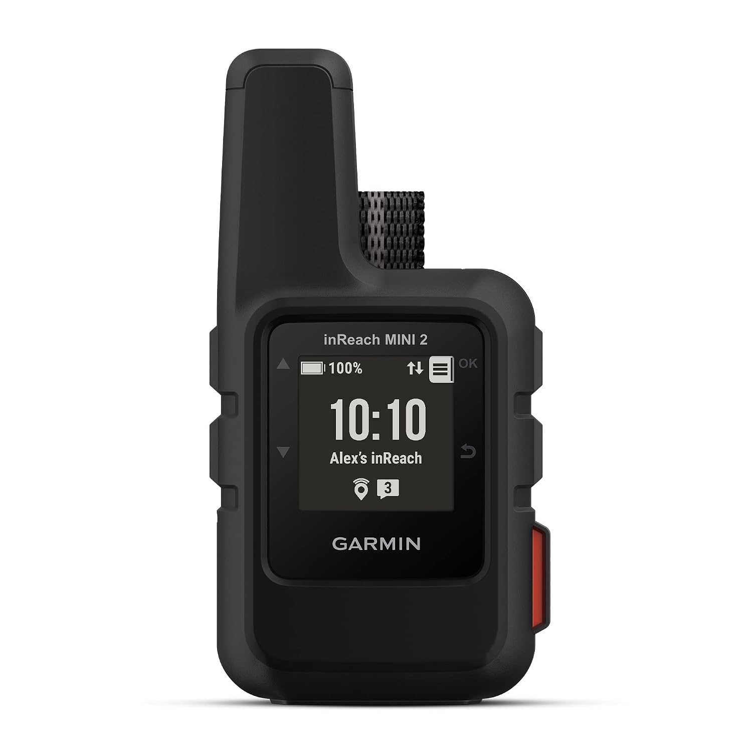 Product photoGarmin inReach Mini 2
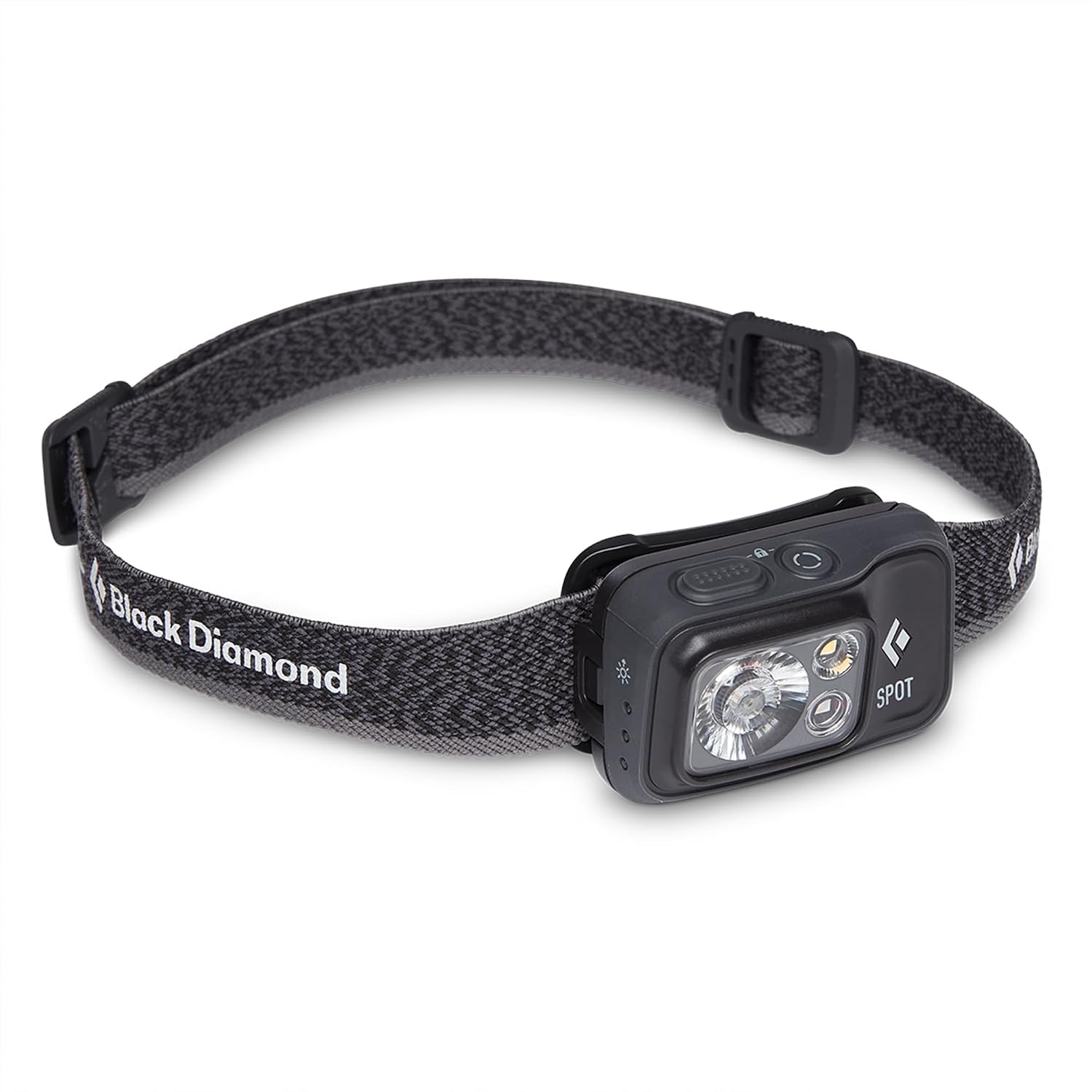 Product photoBlack Diamond Spot 400